Maps

We have several Bountiful City maps you can view and print below.

Bountiful City Emergency Preparedness Districts

Standard Size
Large Size

District Maps

Example Map (using the Bountiful Emergency Response District):

To view and download PDF versions of district maps, click the button below and select the map(s) desired:

Bountiful City Interactive Map

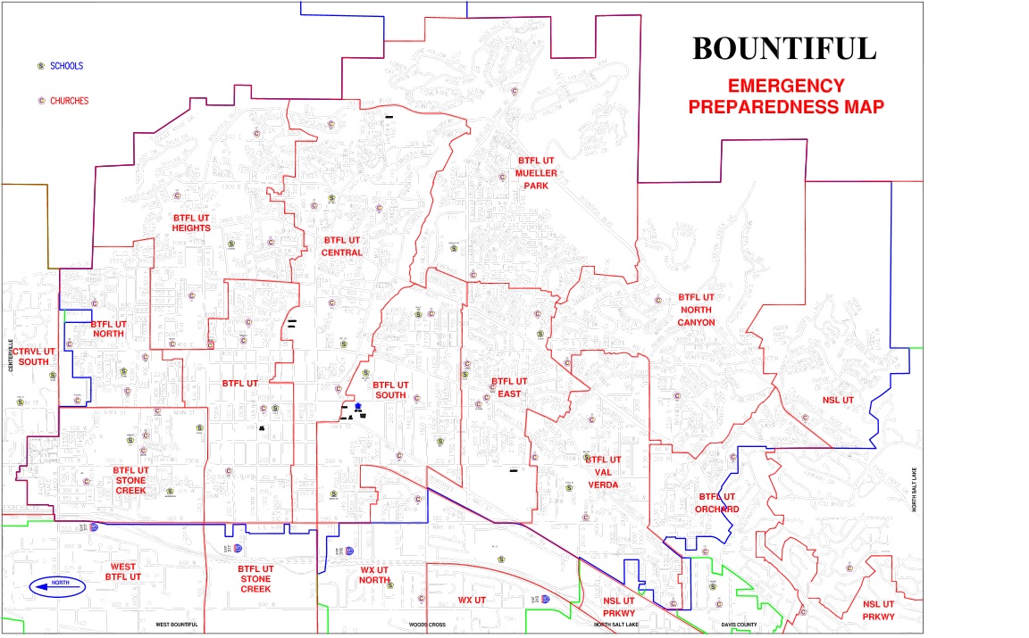
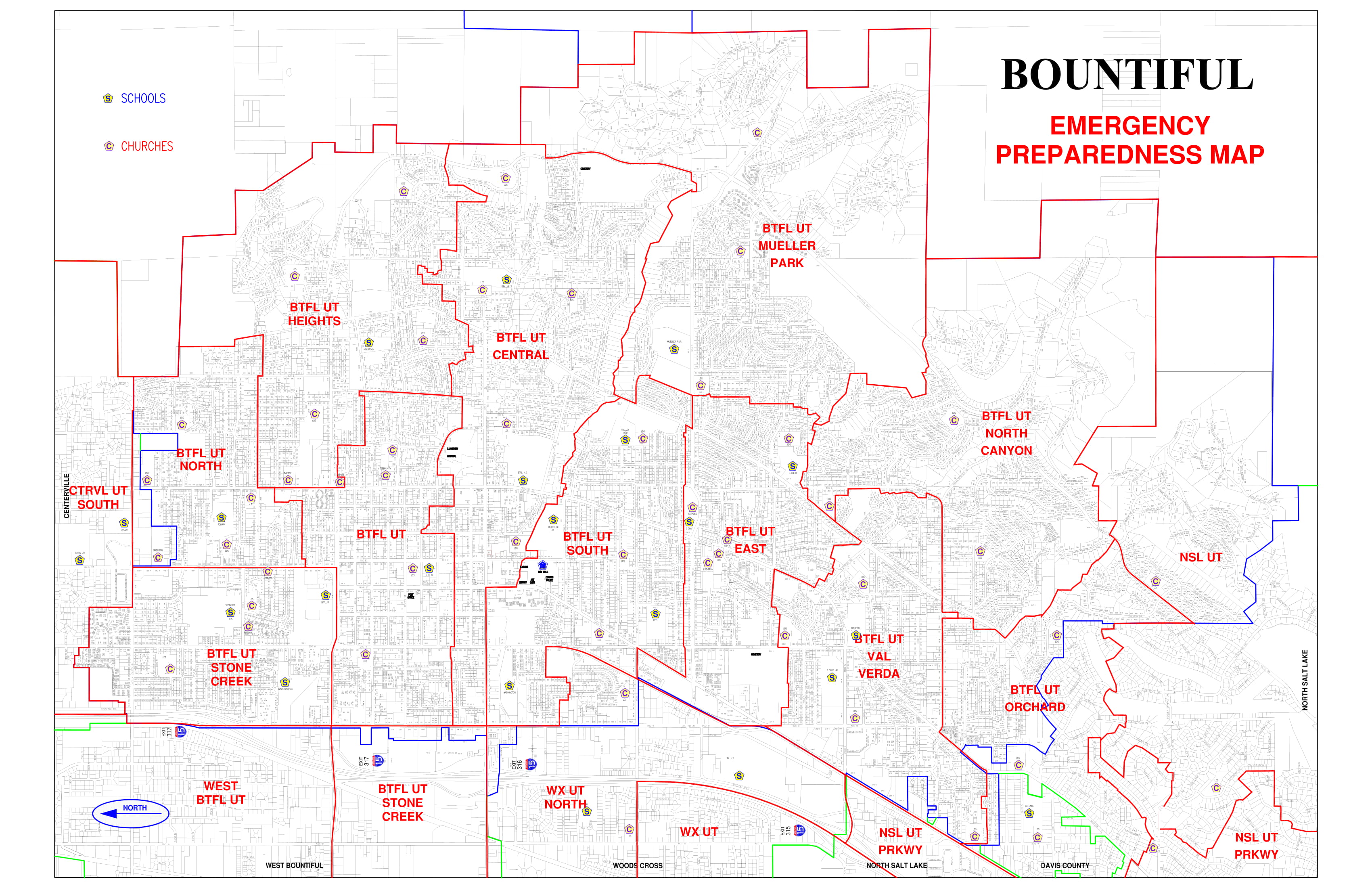
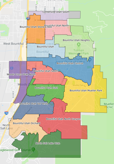
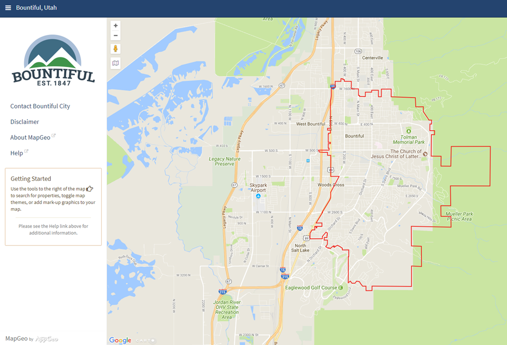
Bountiful City has an interactive map of the area on its website. Once opened, on the right side, a menu appears and allows you to select different themes, such as emergency districts, earthquake fault lines, and even garbage collection routes!
RECOMMENDED: Try the search function. Look for your own house location and learn more about that area!